| Some late fall MUni'ing in the local park |
| Some late fall MUni'ing in the local park |
|
A bumpy descent on the far west end of the park. I'm working on a map of the park, partly to indicate slopes and other remarks for myself, but I'll also include in on the website.
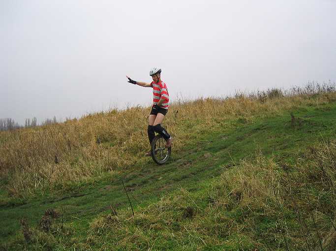
A steepish section down. Usually I do a lot of arm-waving here, but it just turns out that I hold a large imaginary steering wheel to turn the corner. Vroom-vrooooom!
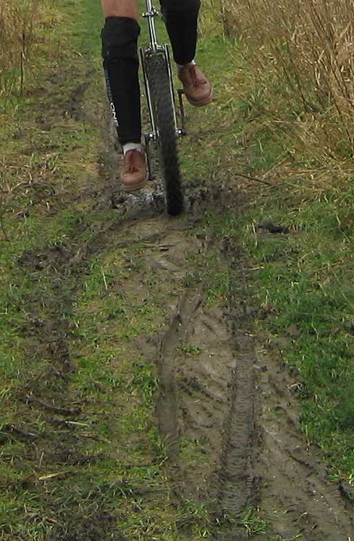
I just cleared a muddy patch. We still have to get used to the time lag of the new digital Canon camera (about 0.75 seconds, but 0.15 seconds when pre-focussed).
Same pic, but zoomed in to show the mud better. This is on some downslope and I don't always make it through but this time I did.
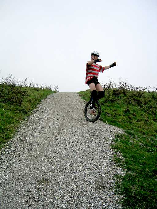
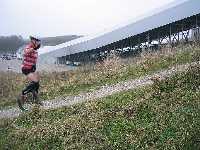
This is one of the steepest (27%) trails I can ride up (not always); the same one as I photographed the inclinometer on (on the inclinometer webpage). Construction in the background is an indoor skiing centre.
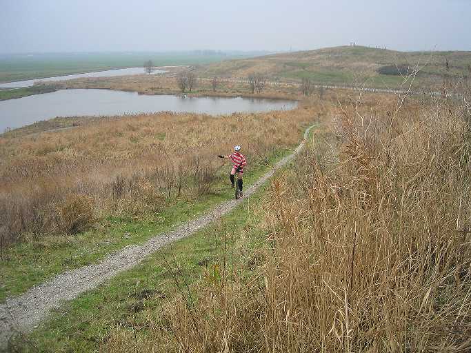
Cranking up another trail. A hazy day, the polders blur into the distance.
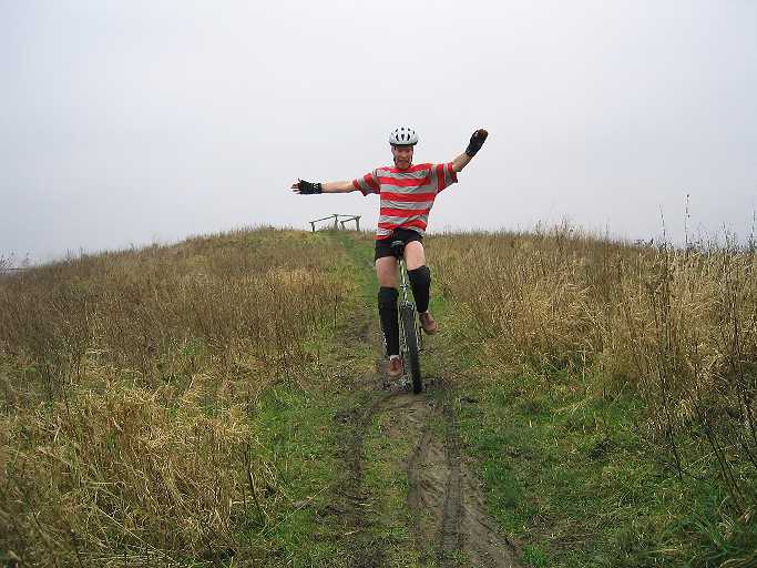
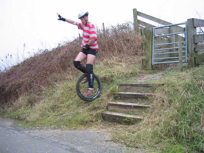
Cannot do this up (yet?) but down is easier than I thought, probably also because it rolls out gently at the bottom. Nailed it all 6 times during the photo / video shoot. (I have the descent on video, too.)
Back to Me, my stuff and my riding. |